Starley
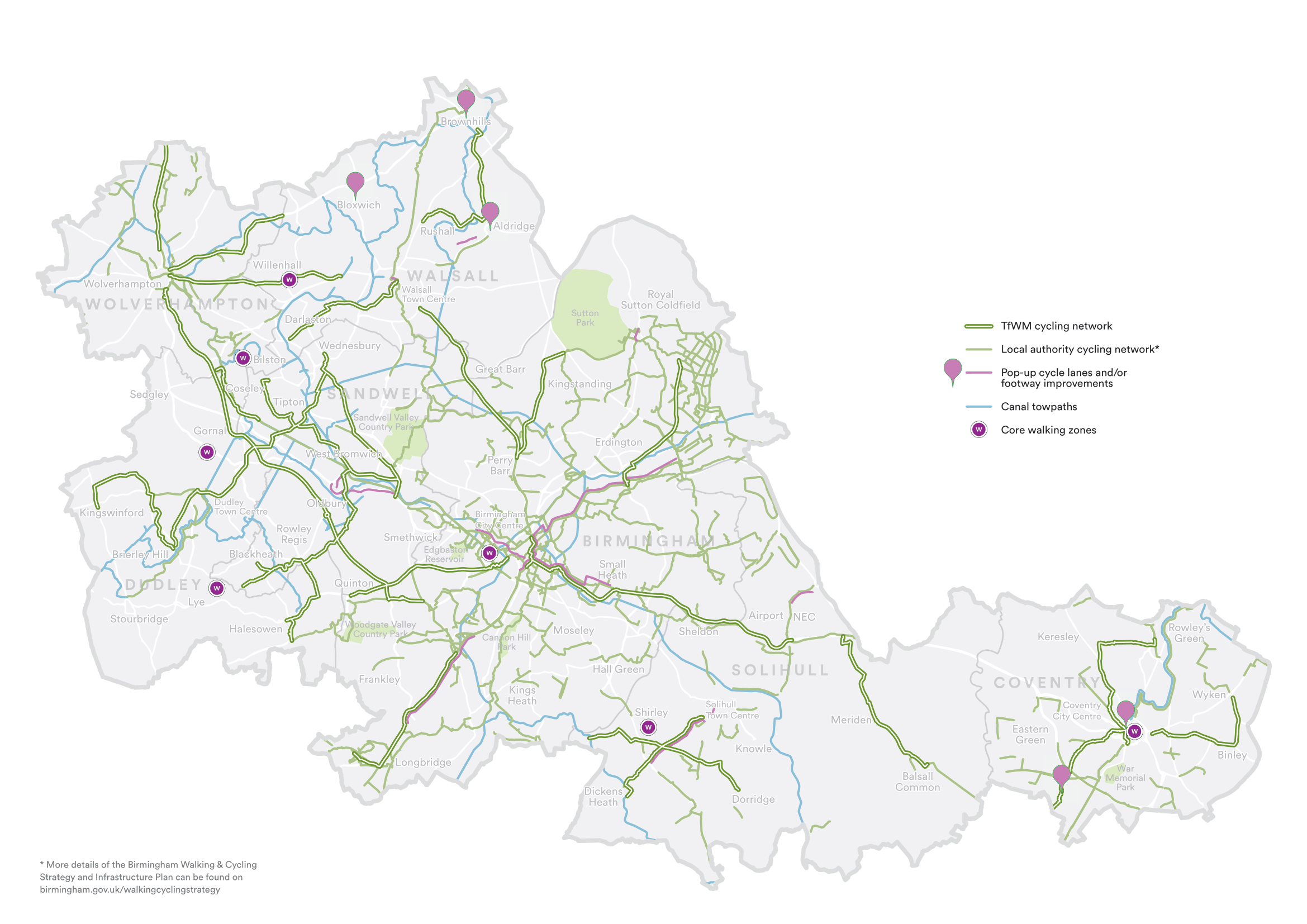
Use this map to explore the facilities available at each rail station across the Starley.
How to use the map
Use the network map above to locate the best station for your journey. Each station shows the accessibility and cycle parking available.
Click on the station name or use the 'view rail station' search function to view an active travel map showing the location of the selected rail station, cycle parking and storage, taxi ranks, bus stops and cycle and walking routes available in the area.